
Be part of our extraordinary adventure
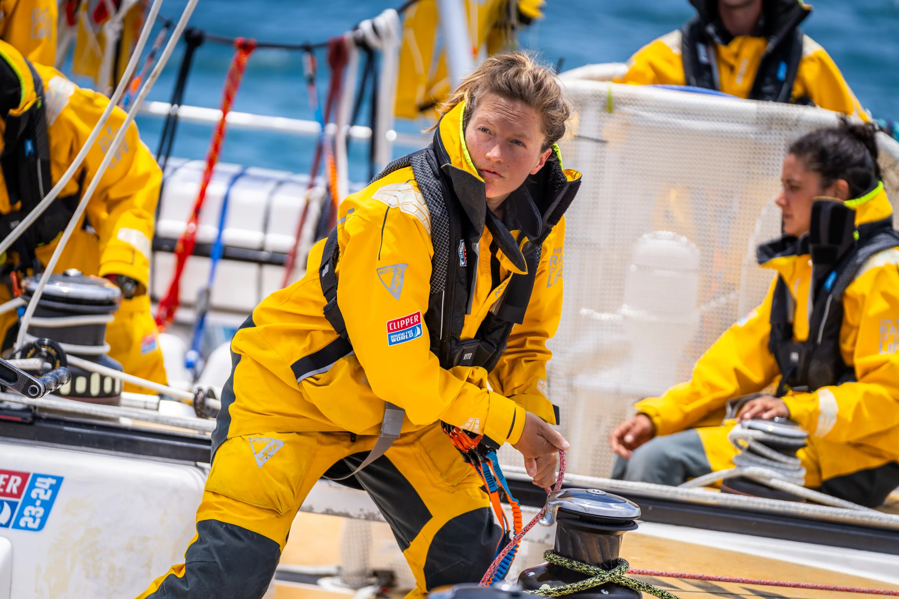
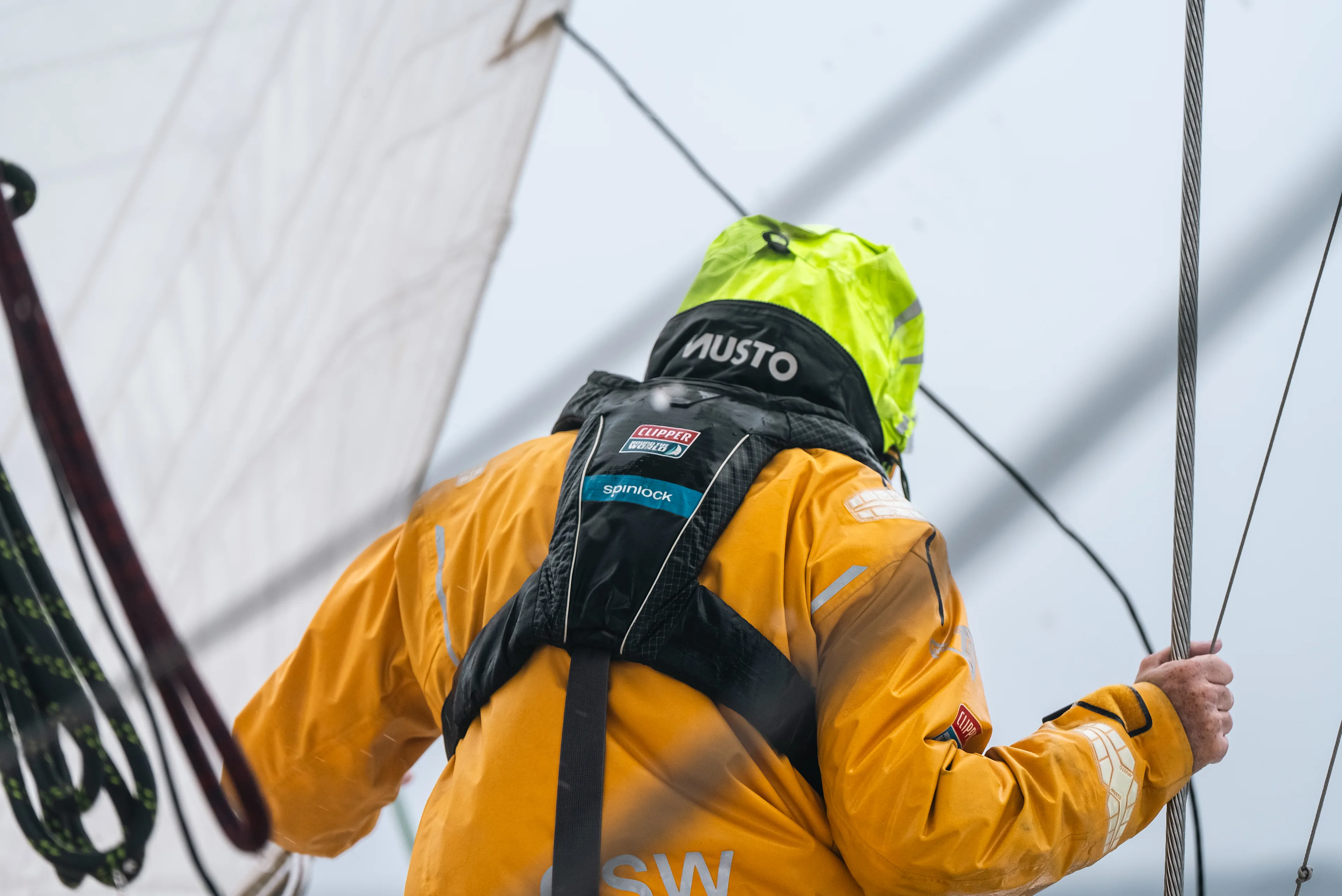
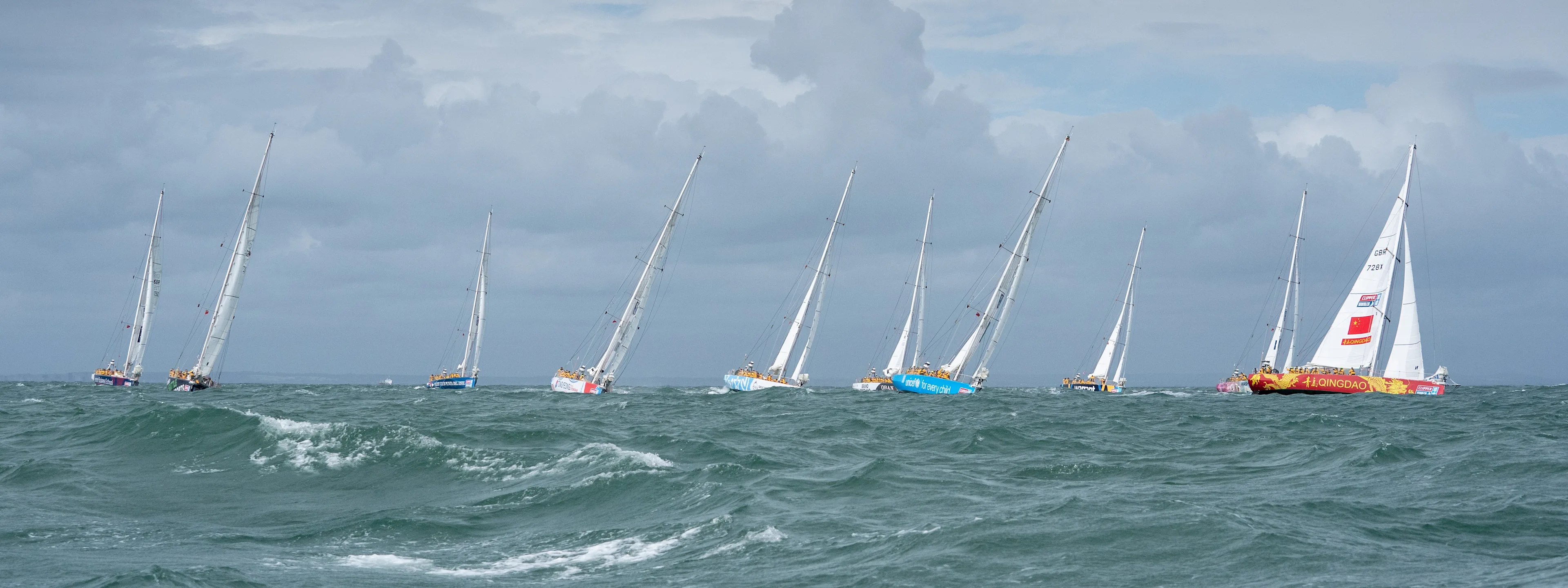
The Clipper Race is one of the most challenging events in the world
A true test of mental and physical fortitude - the Clipper Race provides a unique partnership property that delivers key brand messages to a global audience.
From Official Supplier to Team Partner to Host Port, each Clipper Race Partnership Tier allows brands to access a bespoke campaign, reaching relevant and engaged audiences.
Each partnership is carefully constructed to your business specific business objectives, to deliver significant value and ROI against commercial, brand, ESG, CSR and employee objectives.

Our Partners
 Link arrow
Bringing the world to you
Host Port Partners
The Clipper Race delivers adventure, community, and global impact to Host Ports. Boosting tourism, trade, investment, and media exposure through a 7–10 day festival of sport, culture, and connection.
 Link arrow
Where bold brands thrive
Team Partners
Team Partners brand a Clipper 70 yacht for 18 months of global exposure, driving trade, tourism, business, and engagement with crew as ambassadors.
 Link arrow
Raising awareness
Charity Partners
Charity Partners join the Clipper Race to raise funds and awareness, engaging crew, supporters, and global audiences.
 Link arrow
Reaching a global stage
Fleet Partners
Fleet Partners gain global exposure across the entire race fleet, engaging diverse audiences and expanding market reach.
 Link arrow
Supporting the race
Official Suppliers
Official Suppliers support the race with products or services, gaining global branding, media exposure, hospitality, and networking opportunities that connect with partners and audiences worldwide.
Partnership Benefits
The Clipper Race provides a range of potential benefits that we will build bespoke to fit your needs:
Unique storytelling opportunities
Education and community programmes
Host Port activations
Trade, tourism and investment activations
Race Crew ambassador programme
Year-round media exposure and brand recognition
Environmental Programmes
Global cultural promotions and activations
On-board boat tours, events and hospitality


Key Stats
Nationalities Represented
68
Race Crew
700+
Attendees Per Stopover
175k+
Website page views
12.6M
Social Media video views
7.5M
Become a Partner
Contact usComplete this form and a number of the team will get in touch or email partnerships@clipper-ventures.com with your enquiry.